

History of Olukkara Block Panchayat
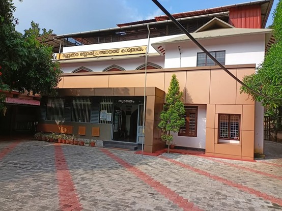
The Olukkara Development Block, which came into existence on October 2, 1956, evolved into the Olukkara Block Panchayat on October 2, 1996, following the implementation of the Panchayati Raj Act and the establishment of the three-tier panchayat system. Comprising the panchayats of Madakkathara, Poothur, Nadathara, and Pananchery, the Olukkara Block Panchayat spans an area of 266.73 square kilometers and encompasses 12 villages. Ollukkara Block Panchayat has evolved into a model local self-government institution that effectively implements decentralized planning schemes aimed at the comprehensive development of the rural population.
Boundaries and Area
The Olukkara Block Panchayat is an agricultural region situated in the highlands within the Ollur Assembly constituency. The area features fertile, humus-rich soil characteristic of forest tracts, as well as sandy loam soils in the low-lying regions. The block spans a total area of 26,673 hectares and is bounded by Palakkad district to the east, Thrissur Corporation to the west, Vadakkanchery Block to the north, and Cherpu and Kodakara Blocks to the south.
Cultural significance
Ollukkara Block is a region with a rich cultural heritage. In this area, where diverse religious communities coexist harmoniously, temple festivals, church feasts, and various cultural programs reflect the community's unity and cultural diversity. The influence of Thrissur district's artistic and cultural legacy is evident here as well. Indigenous art forms, folk arts, libraries, and youth and cultural organizations keep social life vibrant.


